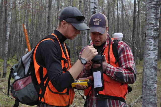
GIS Certificate in Forestry
Professional foresters have long considered how to balance forest resource objectives and constraints
in the context of economics, productivity, and ecological
sustainability. Today, foresters are further challenged by complex
regulations and increased pressure on limited resources. A GIS
Certificate in Forestry will help learners effectively utilize GIS and
Global Positioning System best practices for integrated forest
management.
Core Courses (8 credits + 1 practicum or internship credit)
Geography 241. Fundamentals of Geographic Information Systems.*
Geography 341/541. Geographic Information Systems I.*
Geography 343/543. Geographic Information Systems II.
Geography 480 or 485. Internship or Practicum.
Elective Courses (9 credits)
- Geography 377/577. Remote Sensing I.
- Geography 451/651. GIS and GPS Applications in Forestry Management.
- Geography 477/677. Remote Sensing II.
Photo Album
* Students
who have taken introductory GIS courses within the last five years are
not required to re-take courses. Standard test-out policies and
processing fees may apply.
 Skip to main content
