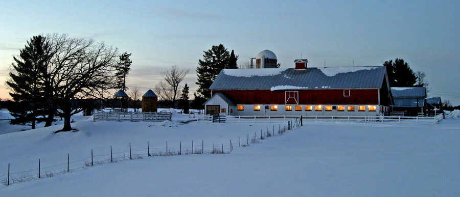
Portage County Barns Project
 The Barn Project of Portage County is an initiative of the Portage County Historical Society and the University of Wisconsin-Stevens Point, GIS Center. Historical barns are disappearing across the Wisconsin landscape in large numbers. Structure loss from snow load, old age, and disinvestment due to the decline of the family farm are a few key reasons for loss. Barns share a slice of cultural history in Wisconsin that local people and tourists value. It is important to document this history, long after these structures disappear. The initiative has photo documented 1,516 barns from Portage County, Wisconsin. A group of 23 historical barn enthusiasts provided photo documentation.
The GIS Center is helping to develop an interactive, geographic database that links photos and other documentation about barns to where the barn currently exists in Portage County. Douglas Miskowiak, GIS Education Specialist at the GIS Center articulates the power of a geographic information system (GIS).
“Although barns may be razed over time, the GIS database will forever document the important geographic, cultural and structural heritage of Wisconsin barns.”
Ben Ebertz, a student at the GIS Center is providing GIS and web-media services using Google map mashups and Google Earth technologies. Ebertz has geo-located each barn structure, and linked it to photo graphs provided by the historical society. With the internet mapping tools, users can search for photos of their favorite barn and with additional information, can learn more about the history of the structure.
Additional information about the barn project of Portage County is available from the Stevens Point Journal at: “The Barn Project of Portage County”
Portage County Barn Map
